**** Info via Environment Canada
Updated – ENDED
Rainfall warning in effect
Rain, heavy at times is expected.
Total rainfall: 30 to 50 mm with higher amounts locally.
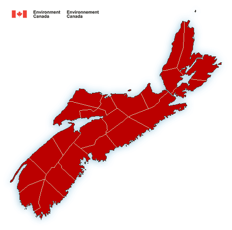
Locations: most of Nova Scotia.
Time span: rain will spread from west to east, reaching Cape Breton by this evening. Rain will end overnight tonight across most of the mainland and by Saturday morning across Cape Breton.
Remarks: Rain, heavy at times, will fall over already saturated ground giving the risk of localized flooding in some areas. Isolated thundershowers may give higher rainfall totals as well.
Localized flooding in low-lying areas is possible.
Rainfall warnings are issued when significant rainfall is expected.
Storm surge warning in effect
High Storm Surge levels and large waves are expected to impact the coast.
Locations: Yarmouth County, Shelburne County, Queens County, Lunenburg County, Halifax Metro and Halifax County West, and Halifax County – East of Porters Lake.
Maximum wave heights: 5 to 7 metres, breaking upon approach to shore.
Time span: this evening and again Saturday morning during high tide.
Remarks: Large waves and pounding surf will produce higher than normal water levels along the coast, especially near high tide. These large waves can cause damage to coastal infrastructure, especially at locations that have been prone to impacts during similar events in the past.
Storm surge warnings are issued when water levels pose a threat to coastal regions.
Wind warning in effect
Strong winds that may cause damage are expected or occurring.
Maximum wind gusts: 90 km/h.
Locations: Nova Scotia.
Time span: beginning in western Nova Scotia this afternoon reaching Cape Breton near midnight tonight.
Remarks: The strong winds will end from west to east across the mainland tonight and by Saturday morning across Cape Breton.
Similar storms in the past have resulted in utility outages.
High winds may toss loose objects or cause tree branches to break. Utility outages may occur. Be prepared to adjust your driving with changing road conditions due to high winds. Avoid wooded areas to prevent injury from falling trees or branches. Campers should move to sturdy shelters.
Wind warnings are issued when there is a significant risk of damaging winds.
Please continue to monitor alerts and forecasts issued by Environment Canada. To report severe weather, send an email to [email protected] or tweet reports using #NSStorm.
Source