
**** Info via Environmental Canada
Special weather statement in effect
Another round of heavy rain and strong winds expected to start next week.
Possible wind gusts: southeasterly near 100 km/h.
Possible rainfall amount: 50-70mm by Tuesday.
Timing: beginning Sunday overnight and intensifying Monday.
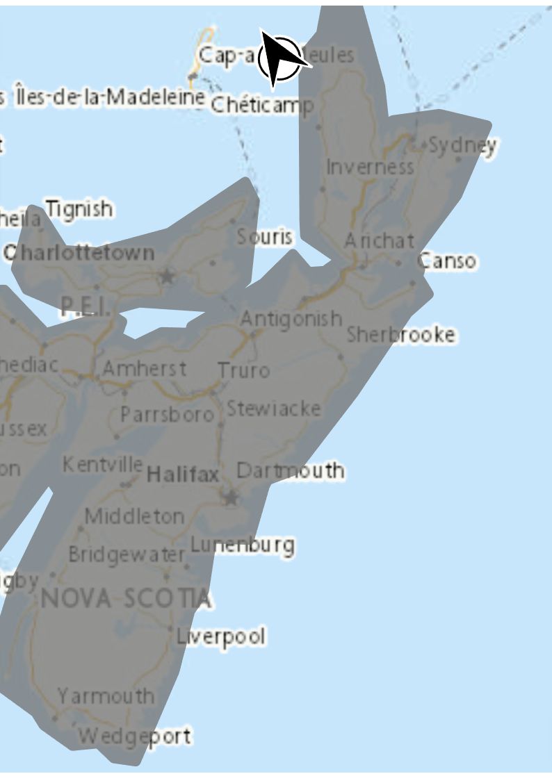
Locations: Nova Scotia.
Remarks: A large low pressure system is forecast to develop near the U.S. eastern seaboard and approach the maritimes late in the day on Sunday. At this time, there remains considerable uncertainty in regards to which counties will see the heaviest rain and strongest winds. It is likely this will be an impactful weather event for areas that have recently seen a lot of precipitation and damaging winds. Rain is likely to continue for many parts of Nova Scotia into Wednesday.
Large waves and pounding surf will produce higher than normal water levels along the coast, especially near high tide Monday and Monday night.
Continue to check for updated alerts and forecasts this weekend as this storm evolves.
Please continue to monitor alerts and forecasts issued by Environment Canada. To report severe weather, send an email to [email protected] or tweet reports using #NSStorm.
Source
https://weather.gc.ca/?province=ns&zoom=6¢er=45.17294059,-62.70723762


