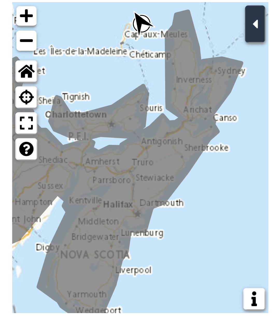
**** Info via Environment Canada
Special weather statement in effect

Early-season snowfall expected.
Total snowfall: up to 5 cm except 10 cm over the Cape Breton Highlands
Locations: Higher terrain in northern Nova Scotia.
Remarks: The first accumulating snow of the season will arrive later today for parts of northern and eastern Nova Scotia. Snow may mix with ice pellets in some areas before changing over to rain later today. The precipitation will taper off overnight. Accumulations will be mainly confined to areas of higher terrain such as the Cobequid Pass, Mt. Thom and Cape Breton Highlands.
A second more widespread early season snowfall is anticipated Wednesday and Wednesday night for most of the province. Accumulations may be significant enough to cause hazardous travel conditions.
Surfaces such as highways, roads, walkways and parking lots may become difficult to navigate. Motorists should be prepared for winter driving conditions.
Please continue to monitor alerts and forecasts issued by Environment Canada. To report severe weather, send an email to NSstorm@ec.gc.ca or tweet reports using #NSStorm.
Source
https://weather.gc.ca/?province=ns&zoom=6¢er=45.48661488,-62.89565253


