**** Info via Environment Canada
Updated
Special weather statement in effect

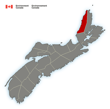
Powerful storm to bring heavy rain, strong winds and possible storm surge Friday into Saturday morning.
Total rainfall: 25 to 50 mm. Locally higher amounts possible.
Maximum wind gusts: 70 to 90 km/h. Stronger coastal gusts possible.
Locations: Nova Scotia.
Time span: Friday near noon into Saturday morning.
Remarks: A developing storm will affect the Maritime Provinces this upcoming holiday weekend. Strong winds and rain, at times heavy, will begin along the southern shores of Nova Scotia late Friday morning, reaching Cape Breton Island by Friday evening. Strong winds and heavy rain will persist overnight before ending early Saturday morning. Utility outages are possible with this system.
Very large waves, storm surge and a run of spring tides have the potential to produce high water levels for Friday into Saturday.
Locations: South facing shorelines of the Atlantic Coast of Mainland Nova Scotia and Cape Breton Island.
Time Span: Late Friday into Saturday. The main threat will be during the high tides on Saturday.
Please continue to monitor alerts and forecasts issued by Environment Canada. To report severe weather, send an email to [email protected] or tweet reports using #NSStorm.
Source


