**** Info via Environment Canada
Rainfall warning in effect
Total rainfall: 25 to 50 mm, possibly up to 70 mm for Halifax and southwest.
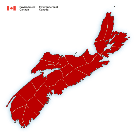
Locations: Mainland Nova Scotia
Time span: Starting in the southwest early Thursday morning and reaching eastern mainland Nova Scotia by noon. Rain at times heavy will taper to showers Thursday evening.
Remarks: A brief period of snow is forecast over northern areas before changing to rain at times heavy. Rain at times heavy will be accompanied by very strong southerly winds gusting 90 or 100 km/h over exposed areas.
Heavy downpours can cause flash floods and water pooling on roads. Localized flooding in low-lying areas is possible.
Rainfall warnings are issued when significant rainfall is expected.
Wind warning in effect
Very strong southerly winds are expected on Thursday.
Maximum wind gusts: southerly 90 to 100 km/h.
Locations: Nova Scotia
Time span: Thursday morning through Thursday evening.
Remarks: These strong southerly winds will be accompanied by very heavy rainfall.
Damage to buildings, such as to roof shingles and windows, may occur. High winds may toss loose objects or cause tree branches to break. Utility outages may occur.
Wind warnings are issued when there is a significant risk of damaging winds.
Please continue to monitor alerts and forecasts issued by Environment Canada. To report severe weather, send an email to [email protected] or tweet reports using #NSStorm
Source