
**** Info via Environment Canada
Special weather statement in effect
Rain at times heavy and strong southerly winds are expected later this week.
Total rainfall: 30 to 40 mm, with up to 50 mm in areas of heaviest rain.
Peak wind gusts: 70 km/h except 90 km/h along parts of the coast.
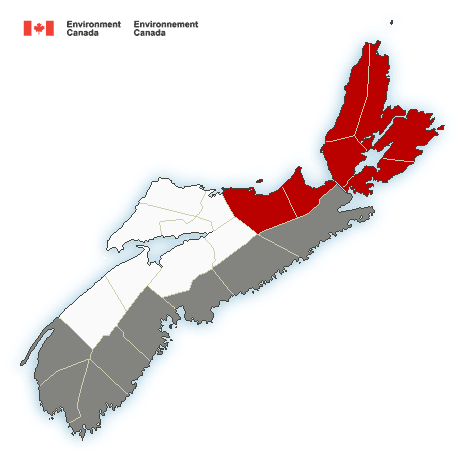
Locations: Digby, Yarmouth, Shelburne, Queens, Lunenburg, Halifax, Guysborough, Richmond, Cape Breton and Victoria counties.
Time span: Thursday morning until Thursday evening.
Remarks: Rain at times heavy and strong southerly winds are expected to begin over southwestern Nova Scotia early Thursday morning. These conditions will spread eastward, reaching Cape Breton by noon. Heavy rain and strong southerly winds will diminish over southwestern areas of the province Thursday afternoon and over eastern areas Thursday evening.
In addition, higher than normal water levels and large waves are expected along south-facing coastlines of the Atlantic coast. Yarmouth and Shelburne counties are most at risk, occurring near high tide at 2:00 p.m. Thursday afternoon. Minor coastal flooding, damage to vulnerable coastal infrastructure and beach erosion are possible.
Please continue to monitor alerts and forecasts issued by Environment Canada. To report severe weather, send an email to [email protected] or tweet reports using #NSStorm.
Source


