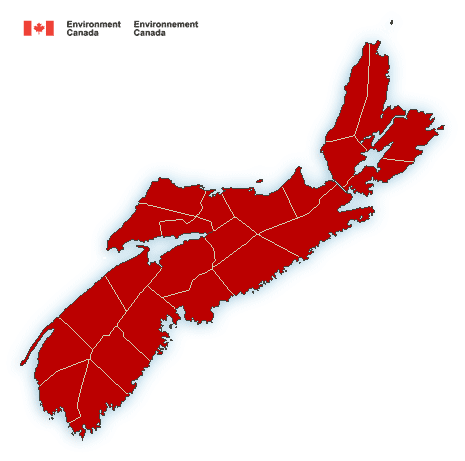
**** Info via Environment Canada
Wind warning in effect

Strong winds that may cause damage are expected or occurring.
Maximum wind gusts: 90 km/h.
Locations: Nova Scotia.
Time span: beginning in western Nova Scotia Friday afternoon reaching Cape Breton near midnight.
Remarks: The strong winds will end from west to east across the mainland Friday night and by Saturday morning across Cape Breton.
Similar storms in the past have resulted in utility outages.
High winds may toss loose objects or cause tree branches to break. Utility outages may occur. Be prepared to adjust your driving with changing road conditions due to high winds
Rainfall warning in effect for:
Rain, heavy at times is expected.
Total rainfall: 20 to 40 mm with higher amounts locally.
Locations: most of Nova Scotia.
Time span: beginning over western areas of the province Friday morning reaching Cape Breton by evening. Rain will end overnight Friday night across most of the mainland and by Saturday morning across Cape Breton.
Remarks: Rain, heavy at times, will fall over already saturated ground giving the risk of localized flooding in some areas. Isolated thundershowers may give higher rainfall totals as well.
Localized flooding in low-lying areas is possible.
Rainfall warnings are issued when significant rainfall is expected.
Please continue to monitor alerts and forecasts issued by Environment Canada. To report severe weather, send an email to [email protected] or tweet reports using #NSStorm
Source


