
**** Info via Environment Canada
Updated
Freezing rain warning in effect
Freezing rain is expected or occurring.
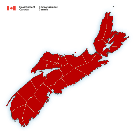
Locations: northwestern Cape Breton and all of mainland Nova Scotia except the Valley and Tri-County areas.
Time span: Beginning Saturday afternoon or evening and persisting into Sunday.
Remarks: Rain, at times heavy, will change to freezing rain over much of the province late in the day Saturday. Periods or freezing rain or ice pellets will persist through Saturday night into Sunday.
Surfaces such as highways, roads, walkways and parking lots may become icy and slippery. Be prepared to adjust your driving with changing road conditions.
Freezing rain warnings are issued when rain falling in sub-zero temperatures creates ice build-up and icy surfaces.
.
(ENDED) Rainfall warning in effect
Heavy rain is expected. The frozen ground has a reduced ability to absorb this rainfall.
Significant rainfall is expected.
Total rainfall: 40 to 80 mm.
Time span: tonight and Saturday.
Remarks: Rain will continue tonight and become heavy at times on Saturday. Saturday night the rain is expected to change to freezing rain over much of Nova Scotia before ending or tapering to scattered showers or light rain on Sunday.
Heavy downpours can cause flash floods and water pooling on roads. If visibility is reduced while driving, slow down, watch for tail lights ahead and be prepared to stop.
Rainfall warnings are issued when significant rainfall is expected.
Please continue to monitor alerts and forecasts issued by Environment Canada. To report severe weather, send an email to [email protected] or tweet reports using #NSStorm.
Source


