**** Info via Environment Canada
Update All ended
Wind warning in effect
Strong winds that may cause damage are expected or occurring.
Maximum wind gusts: southerly 90 to 110 km/h.
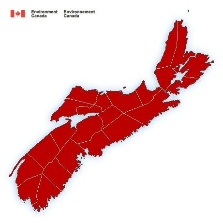
Locations: Nova Scotia.
Time span: this afternoon and tonight.
Remarks: Very strong southerly winds are expected to develop this afternoon and then become westerly and diminish somewhat overnight tonight. The strongest winds are expected to be over exposed areas, especially over eastern areas of the province, where wind gusts could reach up to 110 km/h.
On Sunday, west to northwest winds are expected to increase and gust to 80 km/h.
Damage to buildings, such as to roof shingles and windows, may occur. Loose objects may be tossed by the wind and cause injury or damage.
Wind warnings are issued when there is a significant risk of damaging winds.
Rainfall warning in effect
Rain, heavy at times is expected. The frozen ground has a reduced ability to absorb this rainfall.
Total rainfall: 40 to 60 mm.
Locations: counties of mainland Nova Scotia along the Atlantic coast and much of Cape Breton.
Time span: this morning until overnight into Sunday morning.
Remarks: Showers or periods of rain will begin this morning and become heavy at times this afternoon and evening before tapering to scattered flurries or showers overnight or early Sunday morning.
Localized flooding in low-lying areas is possible.
Rainfall warnings are issued when significant rainfall is expected.
Please continue to monitor alerts and forecasts issued by Environment Canada. To report severe weather, send an email to [email protected] or tweet reports using #NSStorm.
Source