**** Info via Environment Canada
***** Info via Environment Canada
—- All ended
Updated warnings and statements
Rainfall warning in effect :
Rain, heavy at times is expected. The frozen ground has a reduced ability to absorb this rainfall.
Total rainfall: 25 to 40 mm.
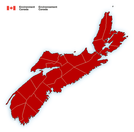
Locations: Lunenburg County east to Guysborough County and Cape Breton.
Time span: beginning later today and ending throughout the day on Tuesday.
Remarks: Snow will change to rain and become heavy at times this afternoon into this evening. The rain is expected to taper to showers or flurries on Tuesday.
Localized flooding in low-lying areas is possible.
Rainfall warnings are issued when significant rainfall is expected.
Wind warning in effect
Strong winds that may cause damage are expected or occurring.
Maximum gusts: southeasterly 80 to 100 km/h.
Locations: Nova Scotia.
Time span: this afternoon and this evening.
Remarks: Strongest wind gusts are expected over higher terrain and along the coast.
Winds are expected to diminish from west to east tonight.
High winds may toss loose objects or cause tree branches to break.
Wind warnings are issued when there is a significant risk of damaging winds.
Statements
Special weather statement in effect
Large waves, pounding surf and elevated sea water levels are expected, possibly exceeding high astronomical tide.
Locations: exposed shorelines of Lunenberg and Halifax Counties.
High tide: near 8 P.M. tonight
Remarks: Storm surge and minor coastal flooding are possible near high tide tonight.
Please continue to monitor alerts and forecasts issued by Environment Canada. To report severe weather, send an email to [email protected] or tweet reports using #NSStorm.
Source