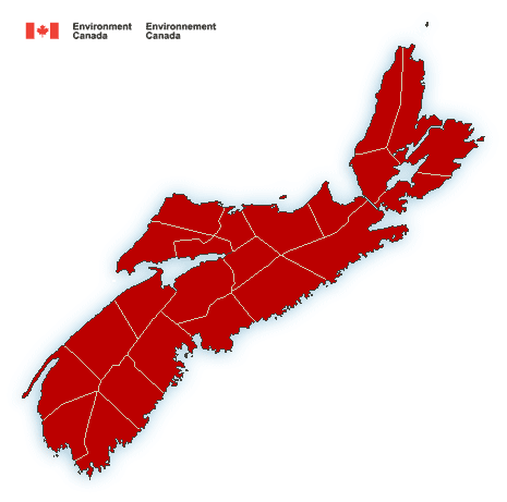
**** Info via Environment Canada
—- ENDED
Winter storm warning in effect
Significant snow, blowing snow, freezing precipitation and wind is expected.
Total snowfall: 15 to 50 cm.
Maximum wind gusts: 90 km/h.
Locations: most of mainland Nova Scotia.
Time span: tonight and persisting into Saturday.
Remarks: Periods of rain this afternoon will transition to snow at times heavy mixed with ice pellets this evening over the Annapolis Valley and northern Nova Scotia. The changeover will be overnight for the remainder of the affected area. The highest snowfall amounts will be over the Annapolis Valley and northern Nova Scotia. Strong northerly winds in conjunction with the fresh snowfall will result in poor visibility in blowing snow and may cause utility outages and road closures. Temperatures will drop significantly by Saturday morning in strong northerly winds causing significant wind chill values. Conditions will slowly improve from west to east on Saturday.
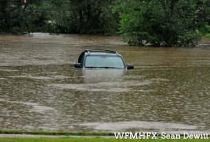
Consider postponing non-essential travel until conditions improve. Utility outages may occur. Poor weather conditions may contribute to transportation delays.
Winter storm warnings are issued when multiple types of severe winter weather are expected to occur together.
Please continue to monitor alerts and forecasts issued by Environment Canada. To report severe weather, send an email to [email protected] or tweet reports using #NSStorm.
Source