**** Info via Environment Canada
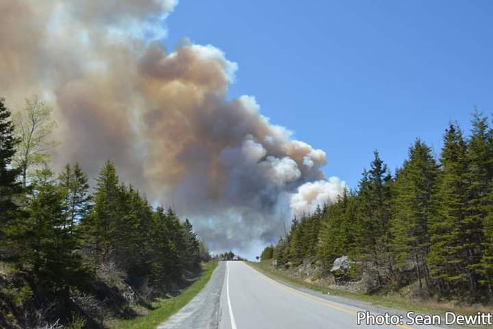
Fire season and firestorms
There are roughly 8,000 wildfires in Canada each year. Fire weather refers to weather conditions that are conducive to fire. These conditions determine the fire season, which is the annual period(s) of the year during which fires are likely to start, spread, and cause sufficient damage to warrant organized fire suppression.

The grayish-brown swirl billowing over the northern Prairie Provinces is smoke that had risen from the Fort McMurray, AB fire complex on May 17, 2016. Actively burning areas, fires, are shown as red dots. Credit: NASA Goddard MODIS Rapid Response Team.
The length of the fire season
Start of fire season – For regions that receive significant snow cover during the winter (i.e., more than 10 cm, with snow cover present at least 75% of the days in January and February), start-up of the fire season occurs when the area has been snow-free for three consecutive days, with noon temperatures of at least 12°C. For regions that do not report significant snow cover during the winter, start-up occurs when the mean daily temperature has been 6°C or higher for three consecutive days.
End of fire season – The fire season ends with the onset of winter, generally following seven consecutive days of snow cover. If there is no snow data, shutdown occurs following seven consecutive days with noon temperatures lower than or equal to 5 °C.

What is a firestorm?
Possibly the most dangerous type of weather associated with a forest fire is when a pyrocumulonimbus storm cloud is generated.

The McKay Creek fire, in B.C., acquired by the Operational Land Imager (OLI) on Landsat 8 at about 12 p.m. PT June 30, 2021. The natural-color image was overlaid with shortwave-infrared light to highlight the active fire. Credit: NASA Earth Observatory.
When a giant fire system becomes powerful enough, they create their own weather systems akin to thunderstorms. Ordinarily, forest fires are driven along by the wind but a massive blaze can carry so much power that its smoke is not pushed to the side. Instead, it forms a plume that rises up to 10–20 km into the sky. Because the smoke plume contains heat and moisture, when it reaches high into the atmosphere, the smoke can condense and form clouds. A pyrocumulonimbus is therefore basically a ferocious thunderstorm that forms within the fire. When the storm forms, the fire below will be big, fast and very dangerous. The fire grows in danger because it bears the characteristics of a massive thunderstorm – with turbulent winds sending embers shooting off in all directions, and creating its own lightning, which in turn can spark more fires.
For more: Preparing for wildfires in Canada.