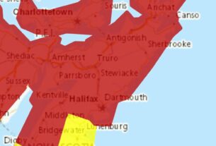
**** Info via Environment Canada
Forecasting weather from space
Last May, Canada signed an agreement with the European Union to join the Copernicus programme, which is the world’s largest provider of Earth observations.
Over the years, Canada has been collaborating with Copernicus to develop over 100 programs and services ranging from support during floods, forecasting ocean winds and waves, monitoring ice, landslides, crop disease, and tracking tick- and mosquito-borne diseases.
This new agreement is exciting news, as this partnership will give us easier access to more satellite data, and help expand our understanding of the Earth’s environment.
Satellites: an essential part of our forecasts
In Canada, we use GOES satellite data as part of our daily weather forecast. GOES stands for Geostationary Operational Environmental Satellite. “Geostationary” means that the satellite matches the Earth’s rotation to look at the same spot constantly. The latest generation of GOES satellites, GOES-R, covers from the western coast of Africa to the West Pacific, and the Arctic to the Antarctic.

The RADARSAT Constellation Mission (RCM), Canada’s newest generation of Earth observation satellites, also plays a part in our forecasting program. Capable of imaging the Earth day or night and in any weather conditions, the three identical satellites allow for daily monitoring of 90% of the world’s surface, and Canada’s Arctic up to four times a day.

We use these data to produce soil moisture maps to improve our weather forecasting and climate models, and to produce ice charts for mariners navigating in ice-infested waters. We also use RCM satellite imagery to detect and report illegal and accidental oil pollution in our waters.
Combined with other satellites we use and our new access to Copernicus data, these satellites help ensure that our weather forecasts continuously improve.


