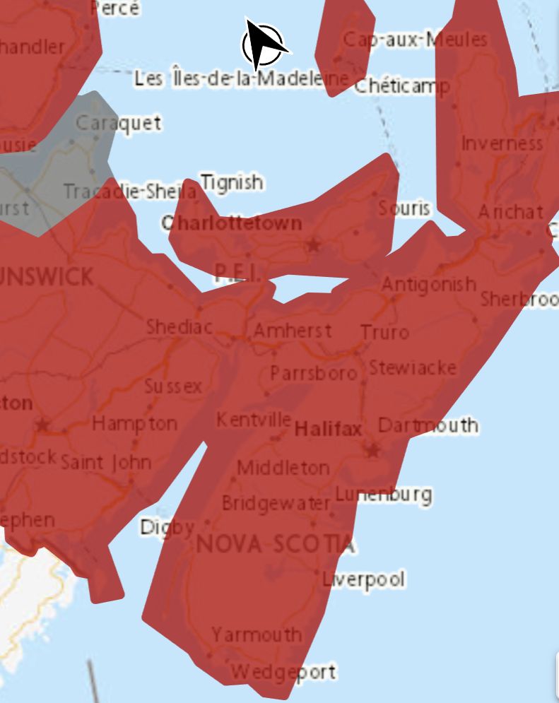
**** Info via Environment Canada
Rainfall and wind warnings in effect

Rainfall warming
Rain, heavy at times is expected. The frozen ground has a reduced ability to absorb this rainfall.
Locations: western and central Nova Scotia.
Total rainfall: 30 to 50 mm, with locally higher amounts of 65 mm possible.
Time span: late day Wednesday until mid-day Thursday.
Similar storms in the past have caused:
– hazardous driving conditions from water pooling on roadways
– elevated water levels in creeks and streams
– localized flooding, especially in poor drainage areas
Remarks: Temperatures are expected to quickly fall below the freezing mark Thursday afternoon as the rain ends. Be sure to keep catch basins and storm drains clear of snow and debris.
Localized flooding in low-lying areas is possible. Heavy downpours can cause flash floods and water pooling on roads.
Rainfall warnings are issued when significant rainfall is expected.
Wind warning
Strong winds that may cause damage are expected or occurring.
Maximum gusts: southerly 90 km/h, except 100 over exposed areas.
Locations: Nova Scotia.
Time span: intensifying Wednesday night and continuing Thursday morning.
Loose objects may be tossed by the wind and cause injury or damage. Utility outages may occur.
Be prepared to adjust your driving with changing road conditions due to high winds.
Wind warnings are issued when there is a significant risk of damaging winds.
Please continue to monitor alerts and forecasts issued by Environment Canada. To report severe weather, send an email to [email protected] or tweet reports using #NSStorm.
Source
.
https://weather.gc.ca/?province=ns&zoom=6¢er=45.71782307,-64.18439642


