**** Info via Environment Canada
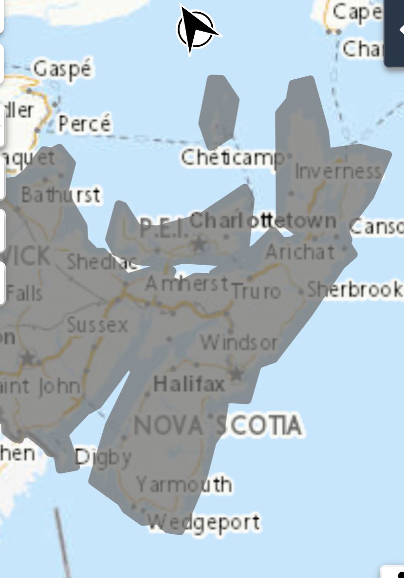
Tropical Cyclone Statement in Effect

The next information statement will be issued at 3:00 a.m. ADT Friday.
Tropical Storm Philippe is expected to track northward toward Bermuda then toward the Gulf of Maine Saturday night as a post-tropical storm. The windy side of the storm is expected to spread over Nova Scotia with the higher winds expected over the western part of the province. Elevated water levels and rough surf can be expected along parts of the Atlantic Coast of Nova Scotia coast impacted by Hurricane Lee but impacts from Philippe are looking like they will be much less.
Philippe is currently only a weak tropical storm but is expected to intensify as it moves northward. Some computer models indicated that there is a possibility (10% chance) it could strengthen to hurricane status so the CHC will monitor that aspect and provide updates.
It is too early to know if the winds will be impactful (e.g. warning criteria is for gusts of 90 km/h or more). Most of the heavy rainfall from the storm will fall over Maine. The impacts from Philippe are expected to occur Saturday night.
Philippe will also be merging with a broad area of low pressure so inclement weather is expected over a much larger area than western Nova Scotia, therefore separate weather statements are or soon will be in effect for many areas including Quebec.
Source
https://weather.gc.ca/?province=ns&zoom=5¢er=49.67747946,-59.72327705


