**** Info via Environment Canada
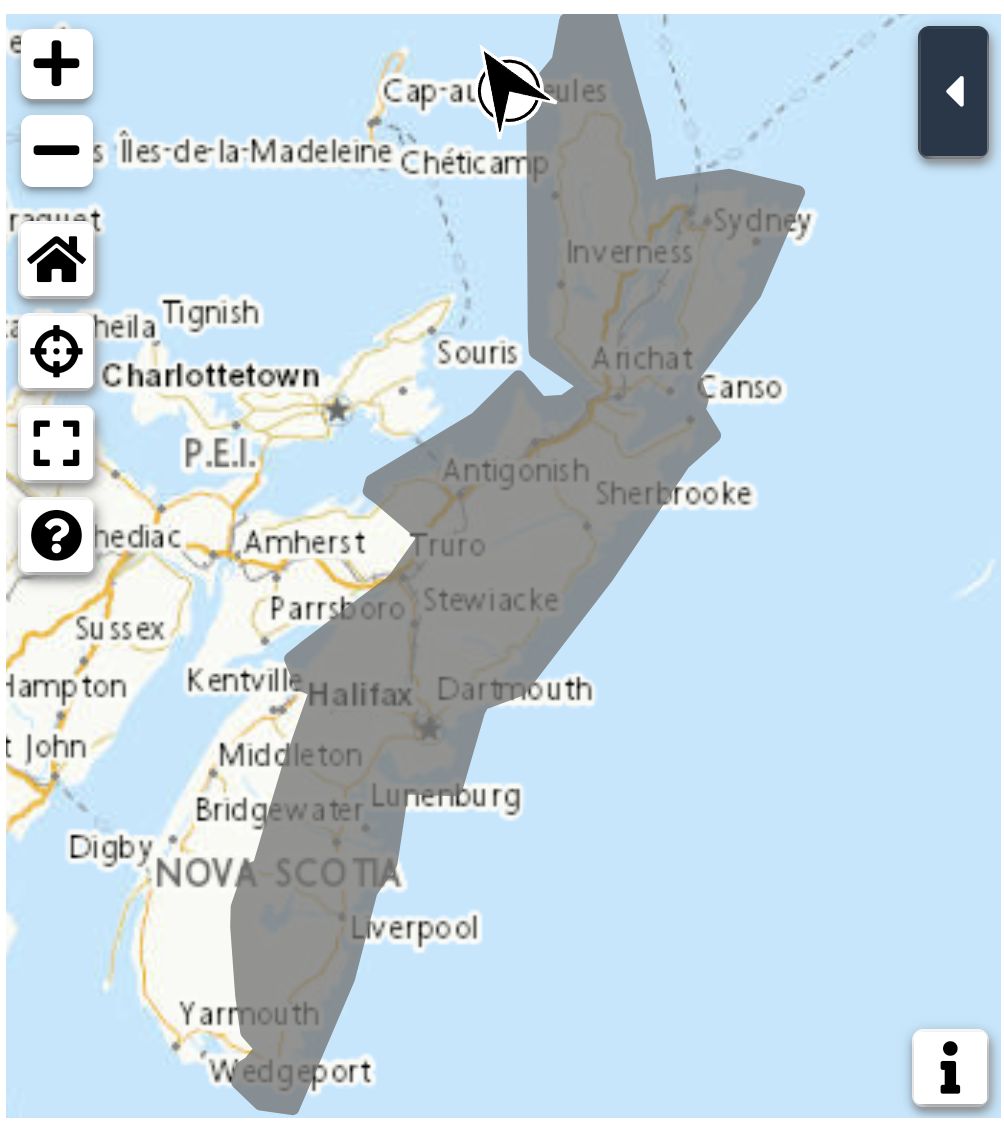
Special weather statement in effect

Rain at times heavy is forecast Tuesday night and Wednesday.
Total rainfall: 40 to 90 mm, with higher amounts possible.
Locations: Atlantic coast and eastern Nova Scotia.
Time span: Tuesday overnight into Thursday morning.
Potential impacts: Similar storms in the past have caused road shoulder erosion and washouts as well as elevated river levels. Winds are not expected to be impactful from this weather system over land.
Remarks: Heavy rain is possible, again. There remains a fair bit of uncertainty with regards to how this weather disturbance, which is unrelated to Hurricane Franklin, may interact with the hurricane as it is expected to pass well south of the province. As this information becomes clearer, timing and locations of the heaviest rain as well as expected rainfall amounts may change. Rainfall warnings may be required.
Please continue to monitor alerts and forecasts issued by Environment Canada. To report severe weather, send an email to [email protected] or tweet reports using #NSStorm.
Source
https://weather.gc.ca/?province=ns&zoom=6¢er=45.17387854,-62.63067346


