**** Info via Environment Canada
Updated preliminary storm summary on Fiona
THIS IS THE FINAL INFORMATION STATEMENT FOR THIS STORM.
1. Full Discussion of the Event.
Tropical depression Fiona formed over the central tropical Atlantic on September 15th. The tropical depression became better organized and its intensity gradually increased during the following day when the National Hurricane Centre reported tropical storm force winds near the centre of the cyclone. On September 16th Fiona reached the Leeward Islands while on its way to the western Atlantic. Two days later Fiona quickly intensified into a category 1 hurricane while turning to the northwest and passing through the Virgin Islands, Puerto Rico, and the Dominican Republic.
On September 18th Fiona began to intensify becoming a major hurricane and reaching category 4 while turning northward east of the Bahamas.
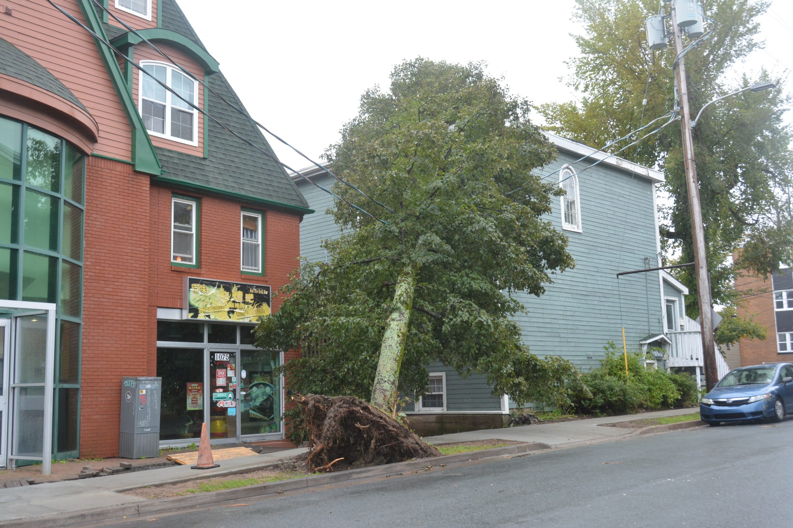
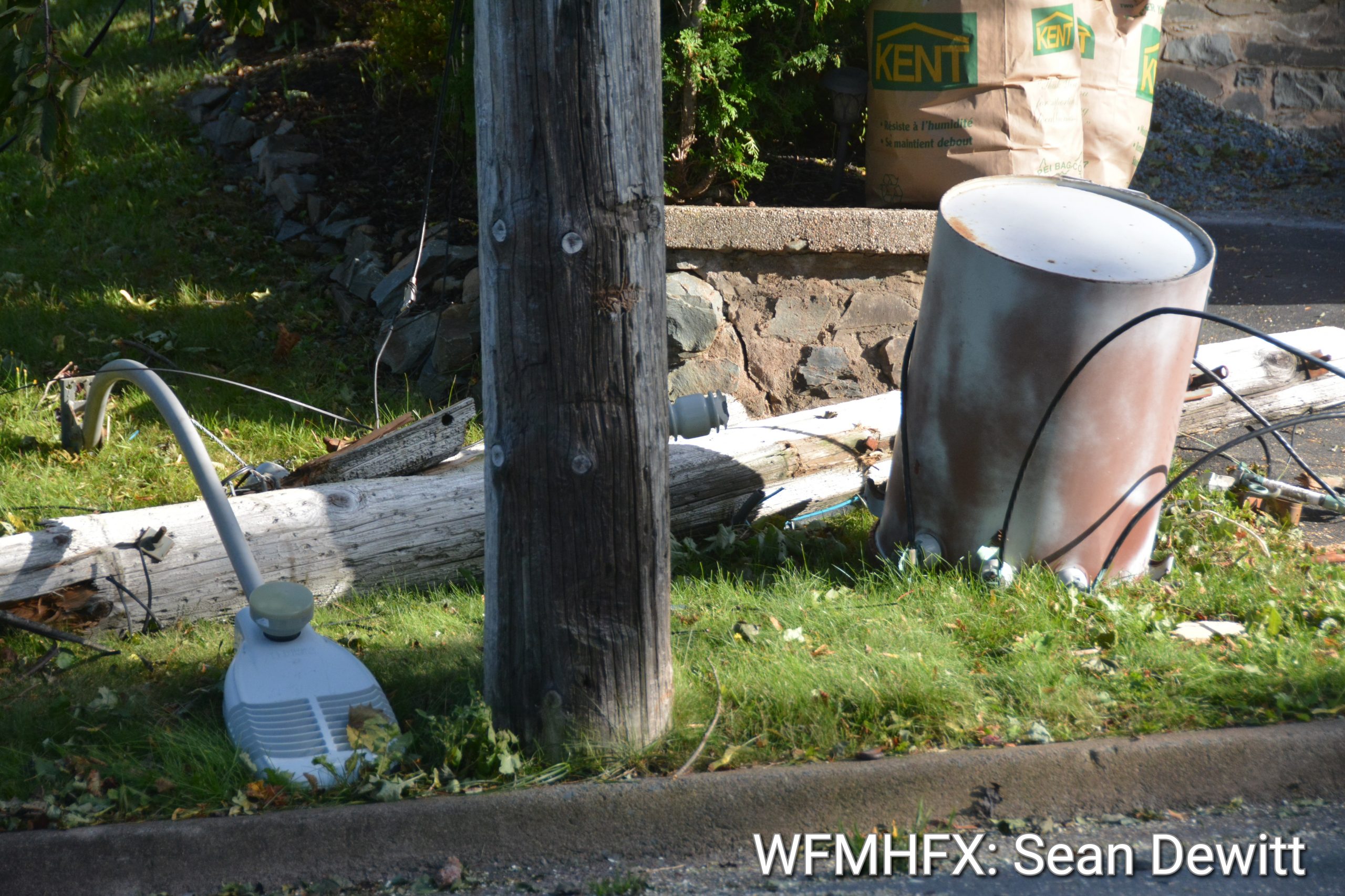
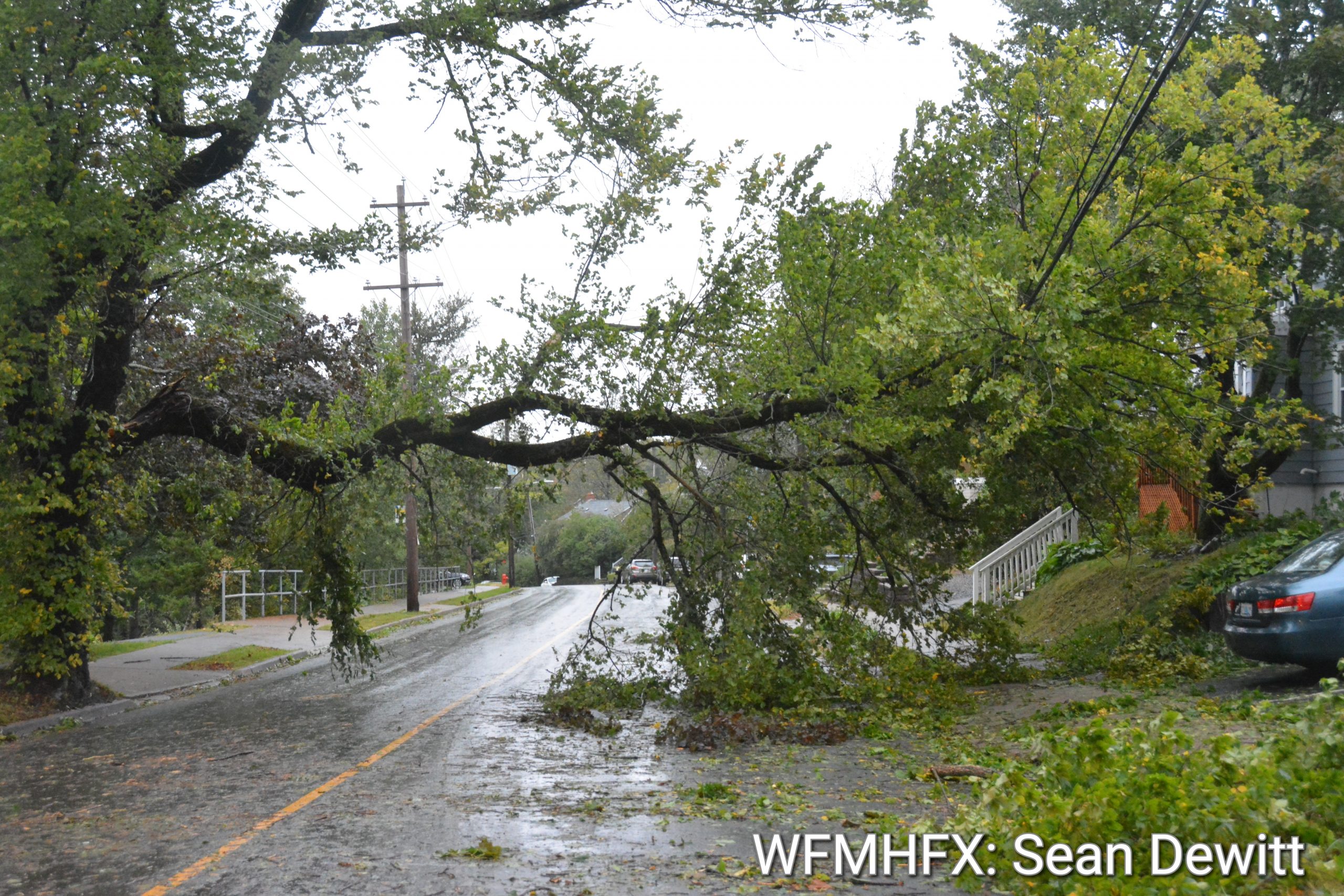
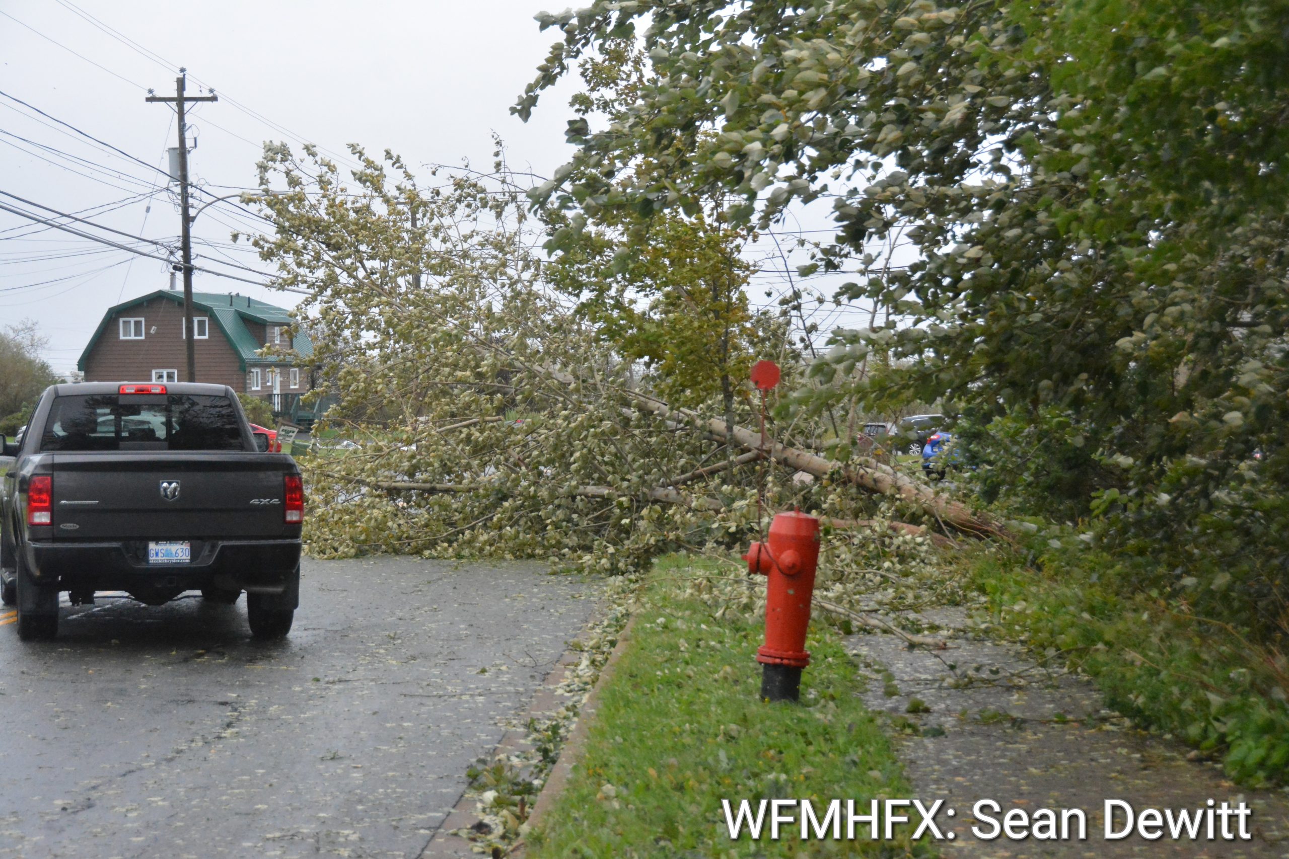
Fiona maintained strong and dominant tropical characteristics as it moved into the Canadian Hurricane Centre Response Zone. Fiona began interacting with a mid-latitude upper trough as it advanced over the Canadian marine waters south of Nova Scotia on Friday the 23rd. At that point, maximum winds around the centre began to diminish. However, once the extra-tropical transition process was complete post-tropical storm Fiona re-intensified between Sable Island and the Eastern Shore of Nova Scotia. By that time hurricane-force winds were spreading across parts of Atlantic Canada and over eastern Quebec.

Fiona made landfall as a category-2 hurricane strength (maximum sustained wind speeds of 165 km/h or 90 knots) post-tropical cyclone near Whitehead, located 28 km southwest of the town of Canso, Nova Scotia, during the early morning hours of Saturday September 24th – It generated damaging winds, , torrential rainfall, large waves and destructive storm surge. The central pressure is expected to be the lowest recorded barometric pressure in Canadian history.

The nearest automatic weather station located at Hart Island measured a sea level pressure of 932.7 millibars, while the East Chedabucto Bay buoy measured 932.8. We are still analysing these data for accuracy.

Post-tropical storm Fiona headed north into the Gulf of St. Lawrence Saturday and brought damaging winds, torrential rainfall, large waves and destructive storm surge to the region. Fiona became fully absorbed by the upper trough on Sunday the 25th, and the remnant low still generated gale to storm force wind gusts as it moved over the Lower Quebec North Shore and then Labrador.
2. Summary of peak wind gusts in km/h:
For Nova Scotia
Arisaig: 179
Grand Etang: 167
Beaver Island: 160
St Paul Island: 158
Wadden’s Cove: 150
Sydney: 149

3. Summary of rainfall in millimetres:
For Nova Scotia the highest amounts were reported over eastern areas and it ranged from 100 to 200 mm. There was unofficial report of more than 200 mm near Antigonish.

Sable Island: 152
Port Hawkesbury: 151
Meaghers Hill: 149
Truro: 145
Mclellans Brook: 137

4. Summary of wave and storm surge information:
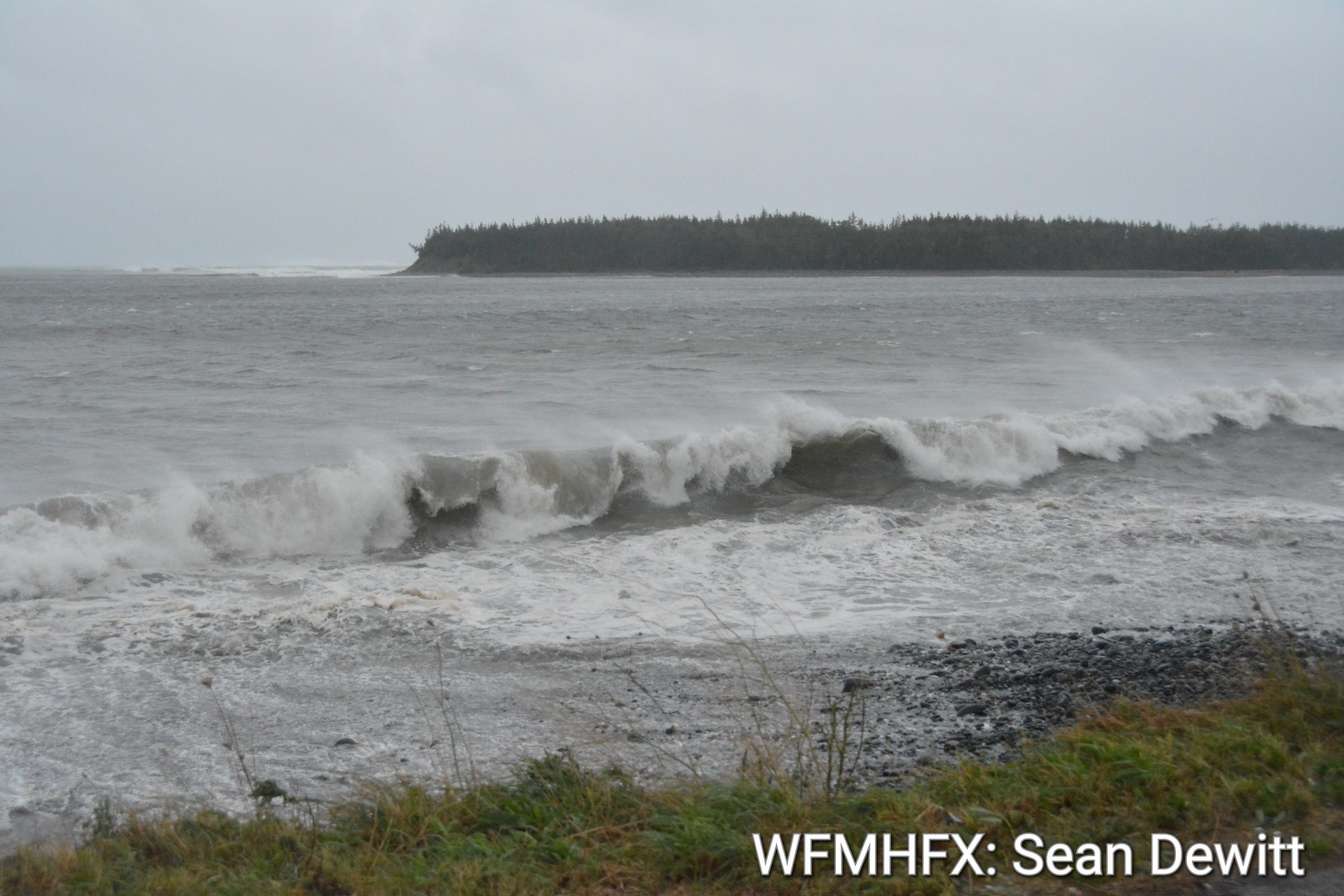
Large waves and elevated water levels were triggered by the passage of Fiona over eastern Canada. Extremely large waves reached the Atlantic coast of Nova Scotia late Friday. Buoy data indicated wave heights of 5 to 8 metres.

The largest offshore waves were near and east of the track of Fiona; this was indicated by satellite information and reports from a buoy over Banquereau Bank where waves averaged 12 to 15 metres with peaks waves as high as 30 metres. Some of these waves would impacted Cabot Strait and southwestern Newfoundland. Over the Gulf of St. Lawrence, the largest waves were generally between 4 and 6 metres, but peaks waves of 10 metres were measured east of the Gaspe Peninsula, and 16 metres over eastern sections of the Gulf.
Two water level records were established on Saturday, at Escuminac, New Brunswick, the peak water level measured was 2.82 metres (with a previous record 2.47), and at Port aux Basques that peak was 2.75 metres (with a previous record 2.71).

These elevated waters levels were mostly driven by storm surge and extremely large waves which resulted in devastating flooding conditions especially along the coastlines of southwestern Newfoundland, eastern and northern Nova Scotia, Prince Edward Island Northumblerland and Gulf coastlines, east coast of New Brunswick, and Iles-de-la-Madeleine. Also, there were reports of damage due to waves along parts of the Gaspe Peninsula coastline.
For more comprehensive information about track tables and forecast rationale, please see the Technical Discussion

.
.