**** Info via Environment Canada
—- ENDED
Winter storm warning in effect
Hazardous winter conditions are expected.
A winter storm will bring snow, blowing snow, freezing rain and strong winds.
Total snowfall: 15 to 40 cm.
Freezing rain duration: 3 to 6 hours.
Maximum wind gusts: 80 to 100 km/h.
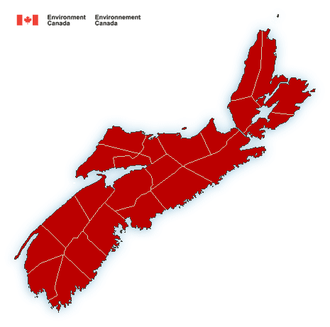
Locations: Most of mainland Nova scotia and portions of western Cape Breton.
Time span: Tonight through Sunday morning.
Remarks: Snow at times heavy and blowing snow will begin late tonight in southwestern regions and will quickly spread northeastward Saturday morning. Snow is expected to transition to an extended period of freezing rain or ice pellets throughout the day on Saturday, before changing to rain later in the day in most regions. The highest snowfall totals are expected over western regions, where precipitation is unlikely to transition to rain. Freezing rain will be most significant inland away from the immediate Atlantic coast.
Strong wind gusts will likely cause power outages Saturday and again late overnight Saturday into Sunday morning, Strongest wind gusts are expected over exposed coastal locations.
Temperatures will fall well below zero Sunday morning behind the storm, causing standing water to freeze.
Rapidly accumulating snow could make travel difficult over some locations. Ice build-up may cause tree branches to break.
Winter storm warnings are issued when multiple types of severe winter weather are expected to occur together.
Please continue to monitor alerts and forecasts issued by Environment Canada. To report severe weather, send an email to NSstorm@ec.gc.ca or tweet reports using #NSStorm.
Source