**** Info via Environmental Canada
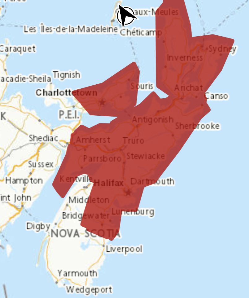
Rainfall warning in effect

Rainfall, combined with melting snow, is expected. The frozen ground has a reduced ability to absorb this rainfall.
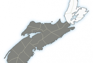
Locations: central, northern and eastern Nova Scotia, including Cape Breton.
Total rainfall: 25 to 50 mm, with locally higher amounts possible.
Maximum wind GUSTS: SOUTHERLY 60 TO 80 KM/H.
Time span: beginning this evening until Saturday evening.
Similar storms in the past have caused hazardous driving conditions from water pooling on roadways, and localized flooding, especially in poor drainage areas. Be sure to clear storm drains and gutters of ice and other debris.
Remarks: Significant runoff is expected to occur as the rain combines with mild temperatures, leading to considerable snowmelt. Gusty southerly winds will become northerly throughout the day on Saturday and temperatures are expected to quickly fall below the freezing mark. Snow and possibly ice pellets and freezing rain are forecast later on Saturday and surfaces such as highways, roads, walkways and parking lots may become icy and slippery as a result.
Localized flooding in low-lying areas is possible.
If visibility is reduced while driving, slow down, watch for tail lights ahead and be prepared to stop.
Rainfall warnings are issued when significant rainfall is expected.
Please continue to monitor alerts and forecasts issued by Environment Canada. To report severe weather, send an email to [email protected] or tweet reports using #NSStorm.
Source
https://weather.gc.ca/?province=ns&zoom=6¢er=45.32264448,-63.20571961


