**** Info via Environment Canada
Tropical Cyclone Statement

Strong post-tropical storm Lee is crossing Prince County, Prince Edward Island early this morning and will pass west of the Magdalen Islands later today. The central pressure is estimated at 986 millibars.
Lee will continue to impact the region today with rain or showers, strong winds, and high waves along the Atlantic coast. Conditions are beginning to improve in many areas of Nova Scotia and southern New Brunswick.
1. Summary of basic information at 6:00 am ADT.
Location: Near 46.5 North 64.0 West.
About 23 kilometres northwest of Summerside.
Maximum sustained winds: 83 kilometres per hour.
Present movement: northeast at 30 kilometres per hour.
Minimum central pressure: 986 millibars.
2. Summary of latest information.
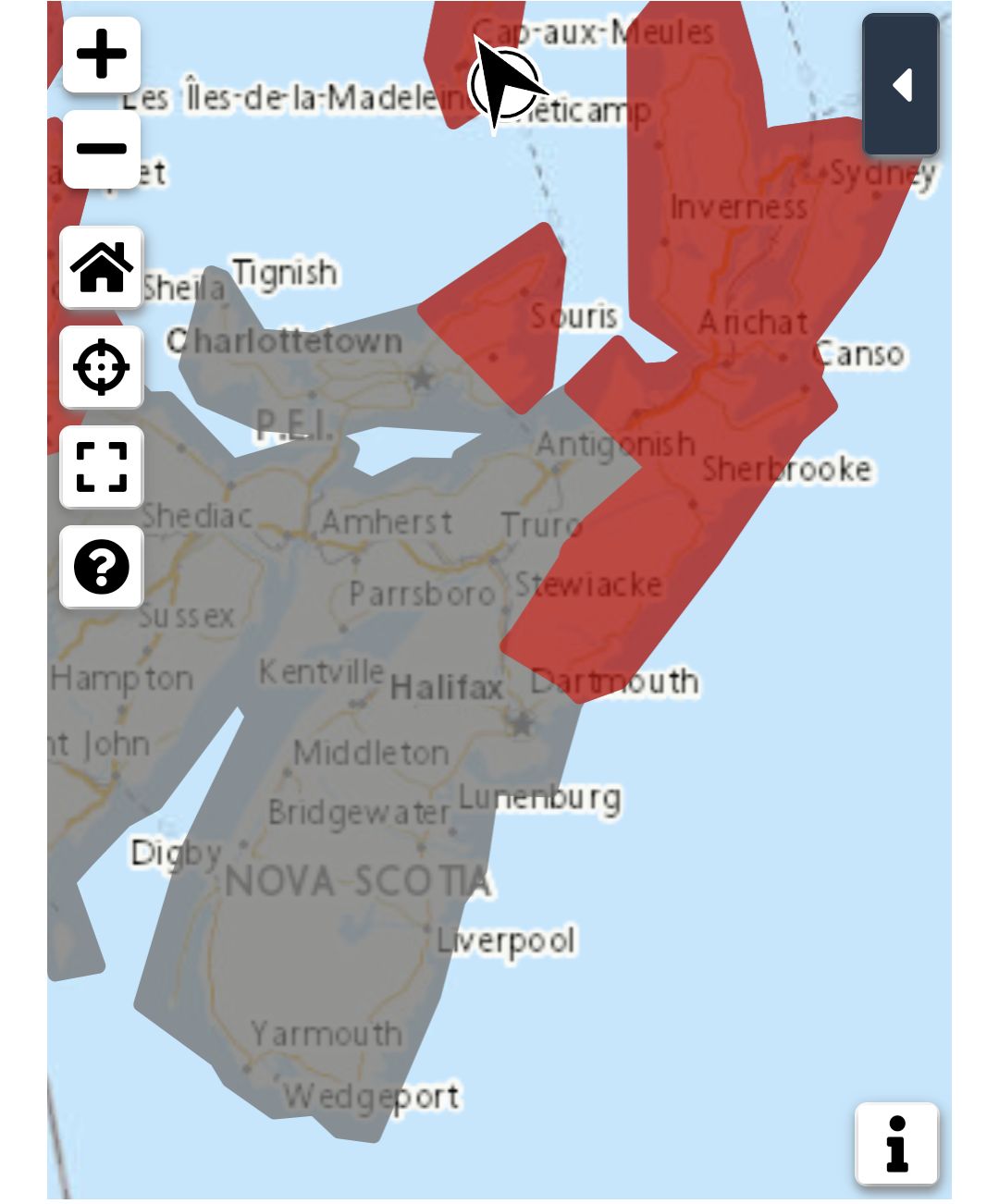
Tropical Storm Warnings are in effect for Kings County, Prince Edward Island, the Magdalen Islands, and Antigonish County, Cape Breton Island, Guysborough County, and Halifax County – East of Porters Lake in Nova Scotia.
Tropical Storm Warnings have been ended during this update for Queens County, Prince Edward Island, and Pictou County and Halifax Metro – Halifax County West in Nova Scotia.
Lee will leave western Prince Edward Island early this morning and being it’s northeastward acceleration across the Gulf of St. Lawrence, passing west of the Magdalen Islands mid-morning and reaching northern Newfoundland this evening. The strongest winds are southeast of the system where gusts around 90 km/h are still being reported along the eastern shore of Nova Scotia. Lee is continuing to weaken and conditions in most areas to the south and east of the storm will improve through the morning.
Bands of heavy rain continue to affect most of New Brunswick, Gaspesie, and Anticosti Island and will move into the Lower Quebec North Shore today. Over 100 mm has been reported at Grand Manan Island and Gaspe. Widespread amounts of 60 to 100 mm were reported near and to the west of Lee’s track as it passed through the Maritimes Saturday and Saturday night.
Utility outages are reported across the much of the affected area, but the number of affected customers has been dropping steadily overnight in Nova Scotia since the peak of the storm.
Large offshore waves up to 7 metres are measured at several buoy platforms off the Atlantic coast of Nova Scotia. The risk of coastal flooding from waves and surge will be greatly diminished by the next high tide.
Please continue to monitor alerts issued by the Canadian Hurricane Centre and forecasts issued by Environment Canada.
weather.gc.ca/hurricane/statements_e.html
Source
https://weather.gc.ca/?province=ns&zoom=6¢er=45.18981997,-63.36570480


