**** Info via Environment Canada
Update – Special weather statement is in effect

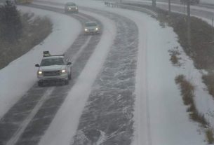
Significant early spring snowfall possible.
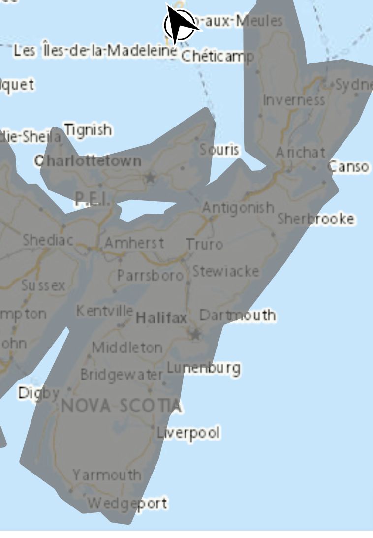
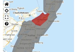
Locations: Nova Scotia.
Potential multi-day snowfall amounts: 10 to 20 cm. Higher totals possible over Cape Breton.
Maximum wind gusts: easterly 70 to 80 km/h. Stronger wind gusts possible along the coast.
Timing: Thursday morning and continuing potentially through to Saturday afternoon. Snow will begin later on Thursday across Cape Breton.
Remarks: The snow is likely to be very wet and heavy in nature. This, along with gusty easterly winds, may cause tree branches to break. Utility outages may occur.
Precipitation is expected to change from snow to rain and back several times throughout this event as temperatures hover near zero Celsius.
Snowfall and wind warnings may be required.
Please continue to monitor alerts and forecasts issued by Environment Canada. To report severe weather, send an email to [email protected] or tweet reports using #NSStorm.
Source
https://weather.gc.ca/?province=ns&zoom=6¢er=45.36486984,-63.43468663


